
Walk a Lansing Street Record
A Lansing address search works best as a chain. First preserve the address exactly as supplied, including unit, direction, suffix, city, and ZIP. Then test its postal form and resolve it to the Cook County parcel identification number, or PIN. A PIN is the county's unique parcel key. It connects an address to the Assessor, CookViewer, tax data, and the Clerk's recordings index even when one system formats the street in a different way.
- Check the exact delivery form with the official USPS address lookup. Save both the input and the standardized result.
- Use the Cook County Assessor address search. Confirm the situs address, municipality, Thornton Township, and 14-digit PIN.
- Open that PIN in CookViewer. Check the parcel shape, adjoining lots, roads, municipal boundary, and historic imagery.
- Search the PIN in the Cook County Clerk Recordings System. Follow deeds, plats, easements, corrections, and linked document numbers.
- Compare the tax portal, village permit route, and a dated historical source only when each one answers a clear question.
This street-by-street method produces an audit trail, not a household roster. Note whether each result is a parcel card, map layer, tax record, index entry, document image, or old directory line. Also save the access date. A successful address match in one portal should never silently replace the spelling that the reader began with.
Lansing Street Directory by PIN
The Cook County Assessor address search is the key starting point for the modern Lansing street directory. Its form does not work like a normal mailing label. Enter the street name without its suffix, supply the required house number and city, and complete the CAPTCHA. Direction and unit are separate controls. If the address returns a PIN, continue by PIN because that value is less prone to spelling and suffix errors.
| Search control | Entry type | Lansing search note |
|---|---|---|
| House Number | Required text | Retain the original number before testing a variant. |
| Direction | Optional select | N, S, E, W, NE, and NW are available. |
| Unit | Optional text | Use it for a condominium or apartment when accepted. |
| Street Name | Required text | Leave off the street suffix in the observed form. |
| City | Required text | Start with Lansing; test a USPS-recognized city only if needed. |
| CAPTCHA and Search | Required control | No login was observed, but unattended searches are blocked. |
The form can also search by PIN and by neighborhood. Thornton Township is listed in the township selector, though a complete public list of its dynamic neighborhood options was not captured. Property classes include distinct types of homes, multifamily parcels, condominiums, vacant land, and exempt land. Use the class shown on the returned card rather than guessing from the view at the curb.
Read a Lansing Parcel Card
A real Lansing card shows why parcel research and resident research are not the same. The Assessor record for 17815 Escanaba Avenue identifies PIN 30-31-105-048-0000, Lansing, Thornton Township, neighborhood 181, tax code 37072, and class 203. It also reports the parcel's land area, assessed values, building size and type, baths, basement or attic traits, central air, garage, age, and exemptions for the displayed assessment years. The public card did not visibly name an occupant.
The sample Lansing Assessor card shows that address anatomy in the county's own layout.
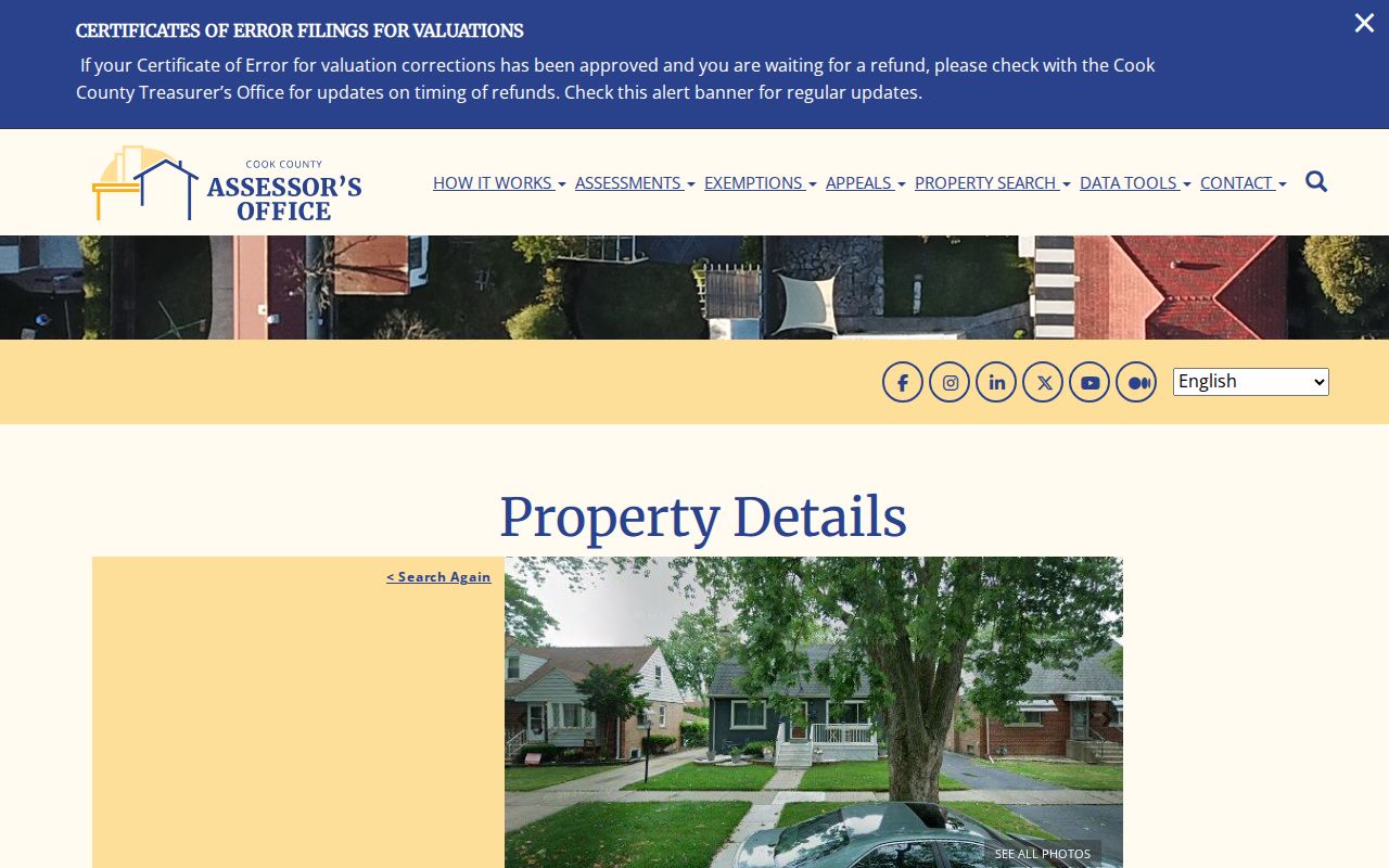
The image connects one street address to a tax parcel and its traits. It does not prove who lives there now.
- Parcel
- A mapped tract of land identified by a county PIN.
- Situs address
- The physical location assigned to the parcel, distinct from a tax-bill mailing address.
- Plat
- A recorded map that defines lots, blocks, roads, or other land divisions.
- Criss-cross directory
- A historical directory arranged by address or telephone number instead of only by surname.
Map Lansing Streets in CookViewer
CookViewer adds the spatial facts that a text card cannot show. Search modes include All, Parcel PIN, Parcel Address Locator, and Address Locator. A search may use a 10-digit, 14-digit, or dashed PIN, a street address, an intersection, or a map click. Once selected, the parcel panel can show municipality, township, zoning, tax details, assessed-value history, building traits, and service districts. Layers cover parcels, roads, boundaries, zoning, tax districts, and points of interest.
The CookViewer Lansing address view places the sample parcel among nearby lots and roads.
That map supports a boundary or parcel comparison. Visual adjacency alone is not a deeded boundary and says nothing about household members.
Current CookViewer tools can select several parcels by click, rectangle, or polygon, compare property traits, and export or print results. Historic archive layers span 2000 to the present, with imagery reaching back to 1998 where available. These tools may explain a split parcel, road shift, or new structure. The recorded legal description remains the stronger bridge when a lot line or PIN changed.
Lansing Records Indexed by Address
No single Lansing street directory contains every useful address fact. Each official system has a distinct job and date range. The coverage below shows the full handoff from parcel resolution through recordings and local requests.
| Lansing address source | Record keeper | Useful result | Access limit |
|---|---|---|---|
| Parcel card | Cook County Assessor | PIN, situs, township, class, value, traits, exemptions | Public search with CAPTCHA; card years vary |
| Parcel map | Cook County GIS | Shape, adjacent parcels, zoning, boundaries, historic layers | Public CookViewer map and export |
| Recorded instruments | Cook County Clerk | Parties, roles, dates, PIN, legal description, linked documents | Index is public; images or copies may cost money |
| Property tax data | County portal and Treasurer | Five billed years, status, exemptions, tax-mail address, recent links | Time-sensitive; preserve tax year and access date |
| Village files | Lansing Building, Planning, and Clerk | Permits, inspections, certificates, zoning, property-maintenance files | OpenGov or a narrow FOIA request; full history search unconfirmed |
| Historical address lines | Library, Historical Society, SSGHS | Old subscriber, street, exchange, notices, and address context | Partial runs; verify edition and page |
The Assessor's open parcel-address data states that situs and mailing addresses update semi-monthly, while owner or taxpayer fields are intermittent. New parcels may lack a postal address. Those warnings matter. A tax-mail name can belong to a trust, bank, representative, or person elsewhere, so label every address field by its exact role.
Follow Lansing Deeds by Street
Once a Lansing PIN is known, turn to the Cook County Clerk Recordings System. The former Cook County Recorder of Deeds was consolidated into the Clerk on December 7, 2020, so an old reference to the Recorder and the present Clerk may describe the same record function. The online index was observed as indexed through August 6, 2026. Treat 1985 as a working direct-search cutoff, not a guaranteed boundary. Older tract books and indexes may require the downtown office or IRAD.
The Clerk's advanced recorded-document search exposes the fields needed to test a deed chain.
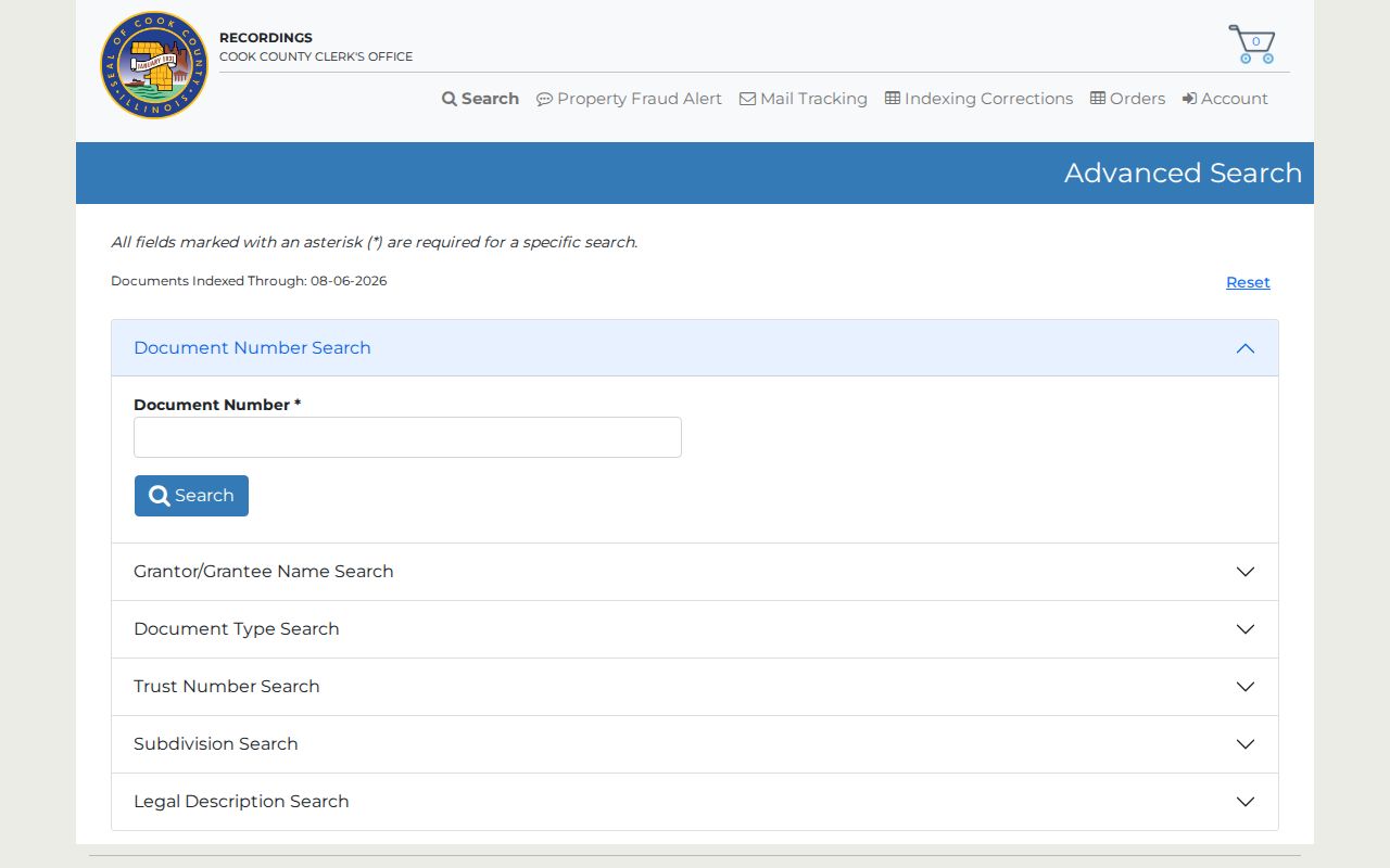
The form can narrow a result by party role, document type, date, PIN, subdivision, or legal description instead of relying on a street string alone.
Search deeds, trustee deeds, transfer-on-death instruments, mortgages, releases, assignments, liens, plats, easements, and correction documents as needed. A grantor transfers an interest; a grantee receives one. Other indexed names may be trustees, lenders, attorneys, lien claimants, or estate representatives. Follow associated document numbers and compare executed dates with recorded dates. Some plats, declarations, easements, and similar images may require downtown service even when an index entry appears online.
The Cook County recordings overview confirms the current office and available services.
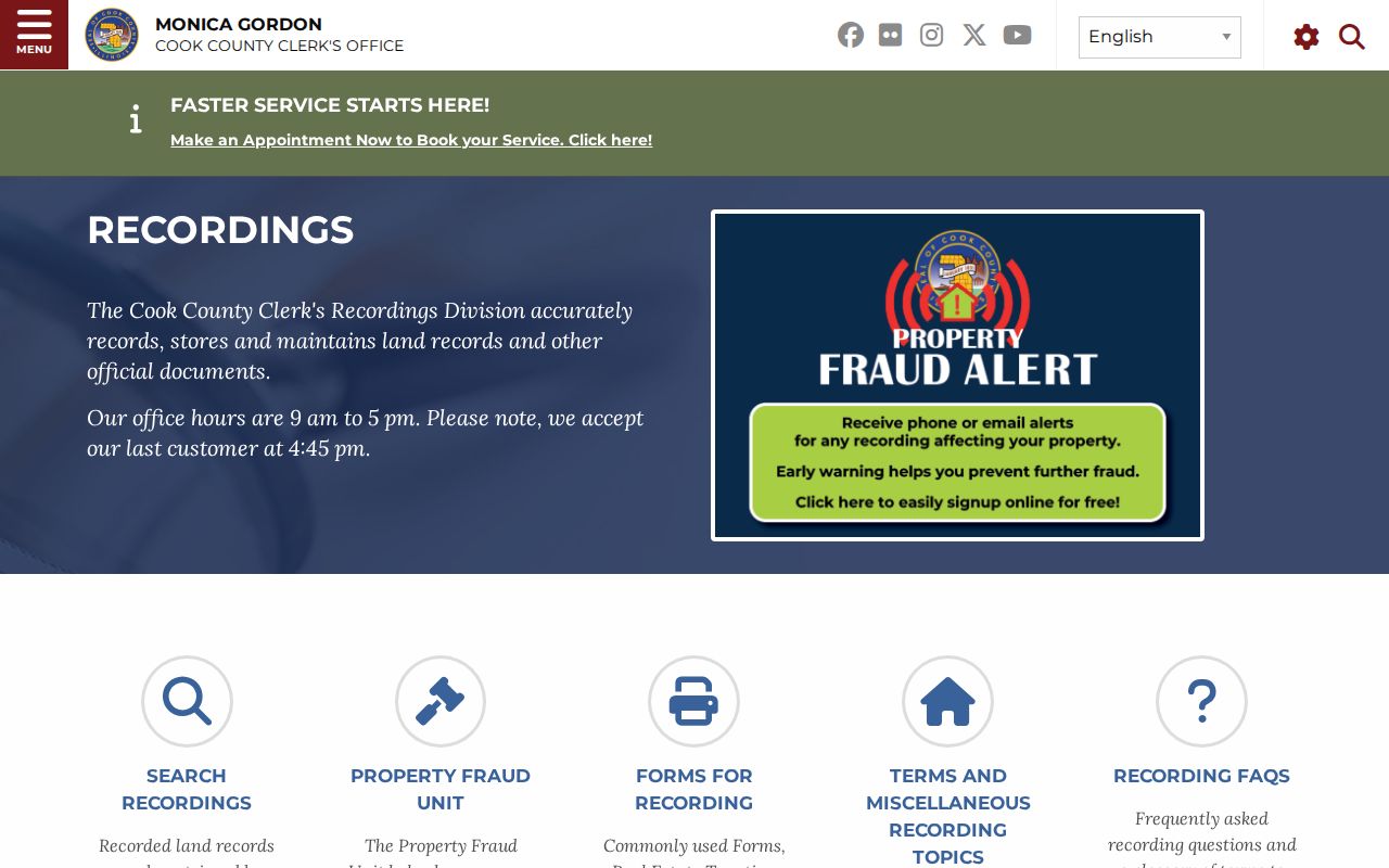
Starting at the agency overview also reduces the risk of following an outdated Recorder page or an unofficial payment route.
Check Lansing Tax and Permit Records
The Cook County Property Information portal accepts a PIN or address. Its address form requires house number, street, and city, while unit and ZIP are optional. A result may show the last five original billed amounts, payment status, township, tax code and rate, parcel class, values, lot or building size, exemptions, refunds, appeals, tax-bill mailing address, and links to recent recorded documents. Those recent links are convenient, but they do not replace the full Clerk index.
The Cook County Treasurer's official page is the route for bill payment, delinquency, tax sales, and special assessments.
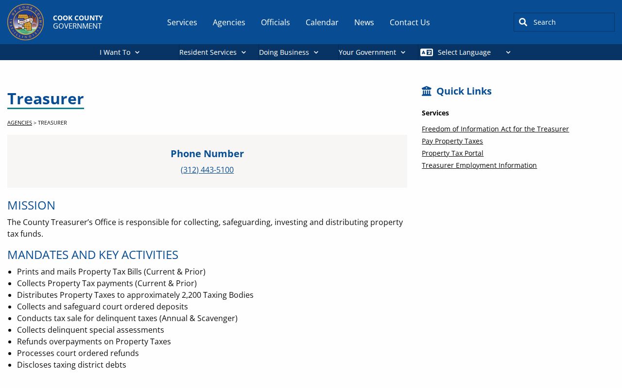
A tax result must retain its tax year and access date. Payment status does not establish current occupancy.
Lansing permit and inspection files add local dates. The Building Department uses OpenGov for building work, plumbing, electrical, HVAC, signs, contractor registrations, vacant properties, temporary storage, dumpsters, inspections, and certificates of occupancy. The inspected pages did not reveal a complete public permit-history search by address. When the portal cannot answer the question, send the Village Clerk a narrow Illinois Freedom of Information Act request naming the exact address, department, record type, and date range.
The Lansing Building Department page identifies the municipal permit route and current service categories.
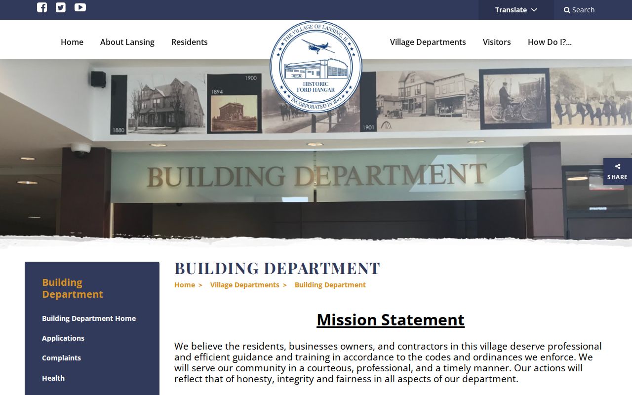
This municipal layer can date work at a structure, but a permit applicant may be a contractor rather than an owner or resident.
Old Lansing Street Names
Historical Lansing addresses need their original wording preserved. Local accounts connect Ridge Road with a sandy ridge and an earlier trail, while State Line, Burnham, School, Torrence, Oakley, and the Bernice or Bernardine spelling appear in the village's street history. Railroad growth and later subdivision also changed how places were described. No official public readdressing or annexation crosswalk was found, so a modern spelling must not be forced onto an old entry without proof.
Create a translation note with the old number, printed street spelling, source date, city or township label, nearby streets, and any legal description. Then test a contemporary newspaper, map, plat, and deed. A directory heading may describe a telephone exchange broader than Lansing's limits. For past address research, the partial 1935 and 1937 Historic Lansing Journal scans and the 1959/60 South Suburban white pages can supply dated lines, while the Lansing city directory collections explain how to cite those historical pages.
Lansing Street Directory Limits
An address can point to land without naming a person. The Assessor describes a parcel. CookViewer maps it. A deed indexes legal roles. A tax bill carries a mailing field. A permit may name an applicant or contractor. A telephone listing shows a subscriber at the time of publication. None is a complete or current list of all people at the address. Utility customer data is not a public substitute, and a public voter lookup is not a blockwide roster.
Use street records lawfully. Research Lansing addresses for legitimate personal, family, property, or civic reasons, and never use a result to stalk, harass, or harm anyone.
A strong street directory result therefore states what was verified and what remains unknown. Keep the source URL, access date, record date, jurisdiction, search string, PIN, party role, and document type. Mark any mismatch between postal city, village boundary, Thornton Township, and parcel data. If two independent official or historical sources do not support a person-to-address claim, stop at the parcel finding instead of forcing an occupant match.